Transforming Industries with the Power of Spatial Intelligence
Environment, Forest and Natural Resources
SCIENCE provides cutting-edge solutions to monitor and manage large areas of natural resources, leveraging deep learning algorithms and intelligence-driven technologies. Our services encompass a full spectrum of geospatial and IoT capabilities, enabling agencies responsible for natural resource and environmental management to protect vital ecosystems and resources, including water, forests, soil, and the atmosphere. These technologies provide a cost-effective, scalable, and accurate means of tracking and managing forest resources over large areas and long periods of time. The combination of satellite imagery, ground-based data, and advanced analytical tools enables better decision-making for sustainable forest management, conservation, and combating the impacts of climate change.
We process vast volumes of remote sensing data to offer actionable insights, allowing for more effective monitoring and decision-making. Additionally, SCIENCE offers tailored geospatial application software and services that empower clients to optimize the management, conservation, and sustainable use of natural resources.
The combination of geospatial data, remote sensing technologies, and GIS is transforming how we approach natural resource management, conservation, and environmental studies. It not only enhances our ability to monitor ecosystems and their changes but also allows for better-informed decision-making that can help mitigate environmental degradation and promote sustainability. These tools are essential for ensuring the conservation of natural resources for future generations.
Here’s a more detailed breakdown of how geospatial data has been utilized for forest resource management:
By combining domain expertise with cutting-edge geospatial technologies, we have experience across a range of environmental sectors, ensuring sustainable management practices and effective response to environmental challenges. Let’s explore some of the key applications and benefits of using geospatial data in these areas:
- Monitoring Forest Cover
- Assessing Forest Health
- Mapping Biodiversity
- Working Plan, Management Plan
- Tracking Environmental Changes
- Carbon Stock and Emissions
- Natural Disaster Mapping
- Post-Disaster Assessment
- Tracking Regeneration
- Planning Restoration Projects
- Water Resource Management
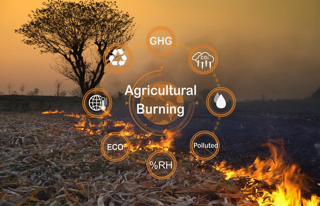
- Soil Monitoring and Agriculture
Agriculture
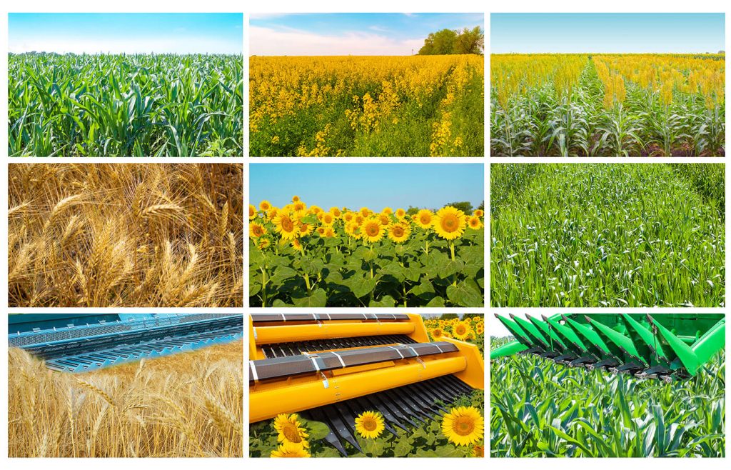
Agriculture is one of the most extensive land-use activities globally, influencing both land cover and the sustainability of social, economic, and environmental systems. It plays a crucial role in the carbon cycle, climate dynamics, ecosystem services, and food security. In this context, Remote Sensing (RS) has become a vital tool for agricultural monitoring. By utilizing satellite imagery and drone-based aerial photography, we can accurately map and analyze the spatial extent of crops and agricultural land use. These technologies allow for high-resolution monitoring of various farming activities, enabling the collection of geospatial data critical to understanding regional variations in crop health, yields, and soil conditions.
Remote sensing tools, including satellite imagery and drones, provide essential geospatial information for effective decision-making in agriculture. With knowledge of the location and characteristics of individual fields, these technologies enhance our ability to assess crop health, estimate acreage, predict yield outcomes, and conduct damage assessments, including evaluating erosion risks. By integrating spatial data into farming practices, agriculturalists gain valuable insights that support sustainable land management, increase productivity, and enhance environmental resilience
- Crop mapping
- Crop classification for spatial distribution and acreage estimation
- Crop yield and production estimation
- Crop condition monitoring
- Damage Assessment & Insurance
- Monitoring Water Conditions
- Landuse/ Landcover
- Soil mapping/ Erosion identification
- Drought/flood mapping
- Pesticide management
- Drought/flood mapping
- Farm Equipment Automation
- Climate and Weather Forecasting
- Farm Management Software
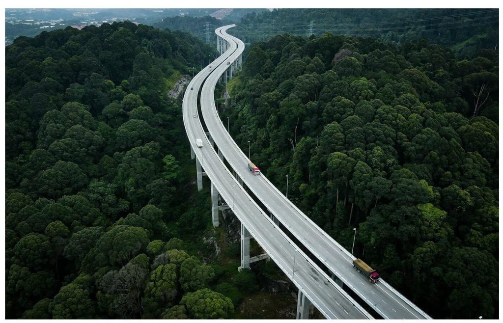
Urban Development and Planning
SCIENCE is dedicated to enhancing urban development by leveraging advanced GIS and IT solutions. Our services support the growth of urban infrastructure through data-driven approaches, empowering local governing bodies such as cities, municipalities, and urban local bodies (ULBs) to better manage essential services and urban assets. We specialize in integrating high-resolution satellite data with GIS technology to provide comprehensive solutions for city planning and development. By offering tools that enable more efficient decision-making, we help create sustainable urban environments with improved quality of life for citizens.
Through the power of GIS and IT, SCIENCE is helping cities adapt to their evolving needs, ensuring sustainable development and improving the quality of urban life.
- GIS-based Master Planning – A Geospatial Platform
- Land Use and Land Cover Surveys – Base Map Creation
- Urban Change Detection & Urban Sprawl Analysis
- 3D Mapping, 3D Building Mapping, and Infrastructure Mapping
- Project Site Selection Using Drone Data
- Geo-IT Solutions for Transport and Utility Mapping
- GIS-based Waste Collection Solutions
- Property Tax Mapping Solutions
- Consumer and Door-to-Door Surveys – App-based Solutions
- GPS, DGPS, and ETS Surveys for Land Planning
- Integration of Satellite Imagery and Ground-Based Data
- Advanced Analytical Tools for Better Decision-Making
Infrastructure/Utility/Energy
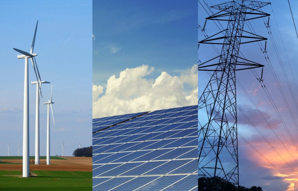
Creating digital maps and conducting asset mapping is the foundational step in any infrastructure, utility, or energy project. Once the project is operational, geospatial data and analytics play a crucial role in remote monitoring of assets using satellite and drone imagery. These technologies help in detecting encroachments, monitoring the right of way (ROW), planning expansions or relocations of assets, and ensuring the effective management of infrastructure. Geospatial data also enables the detection of new roads, buildings, or changes in land use that may impact nearby assets and businesses, allowing for quicker response times. Understanding current land use, land conditions, and various impact factors is essential for the success of any project from its inception, and all this information can be accessed effortlessly with Geospatial Technology.
The implementation of Geo-IT solutions in sectors such as Power Transmission, Power Distribution, City Gas Distribution, Water Pipelines, Telecom, and Renewable Energy (Wind and Solar) helps service providers optimize resource usage and enhance operational efficiency in development planning. It also aids in identifying connectivity issues, assessing resource utilization, detecting energy loss or leaks, and performing outage analysis, ultimately allowing service providers to make well-informed decisions based on mapped data.
Customer engagement and services in energy and utility businesses are heavily influenced by factors like asset and customer location, proximity, physiography, elevation, slope, land cover, and the right of way—all of which rely on accurate location data. Location analytics is invaluable for managing the daily operations and asset supervision of various utilities. SCIENCE offers specialized Utility Mapping Services in sectors like Telecom, Pipeline Networks, and Rural Infrastructure. We have extensive experience in mapping Optical Fiber Networks, including GIS mapping for the Bharat Net OFC routes of BSNL (Bharat Sanchar Nigam Limited). Additionally, we provide support to the PMGSY in various states. Through our expertise in GIS, IoT, and analytics, we drive digital transformation for efficient management of water supply, power distribution, gas distribution, and billing, ensuring greater transparency and operational efficiency for both service providers and customers.
Disaster Management
Natural disasters are unpredictable, making disaster preparedness, planning, and execution critical for efficient response. Access to large-scale, accurate, and updated information on various impact parameters plays a vital role when disaster strikes. Having the right data at the right time is essential. Geospatial technology fulfills this need in post-disaster scenarios. Science has developed in-house capabilities to deliver geospatial solutions that enable effective disaster management. These include pinpointing the locations of rescue teams, conducting route analysis to access disaster-affected areas, identifying and managing alternate routes, creating evacuation plans, finding the nearest shelter locations, and locating critical assets (such as helipads and hospitals). Additionally, Science facilitates real-time and near-real-time information sharing to help authorities coordinate better and respond quickly, maximizing lives saved.
In pre-disaster scenarios, surveying, mapping, and modeling—focused on disaster return periods—are increasingly being utilized through advanced GIS techniques. These techniques support disaster management by producing models that visualize potential disaster impacts and help devise mitigation measures through disaster management plans at both state and district levels. Such models also enable government agencies to pre-emptively manage resources, such as estimating the number of rescue teams and personnel required to effectively handle disaster situations.
Science offers GIS-based web solutions tailored for disaster-prone areas, ensuring that multiple agencies can access and utilize the data simultaneously, fostering improved coordination and preparedness.
Government
Geospatial technologies play a pivotal role in every government project and initiative, including transformative programs like Gati Shakti, which leverage the full potential of these tools. We offer Geo-IT-enabled platforms designed specifically for various governmental projects. Our solutions support numerous government programs by tracking and monitoring progress and providing critical data for studies and analysis.
With expertise in location analytics, precise mapping practices, and comprehensive pattern analysis, we deliver actionable decision support for government projects and schemes. Through periodic acquisition of geospatial imagery, we enable consistent tracking and monitoring of assets, ensuring projects are completed within stipulated timeframes and facilitating informed decision-making.