


Environment, Forest & Natural Resources
SCIENCE provides cutting-edge solutions to monitor and manage large
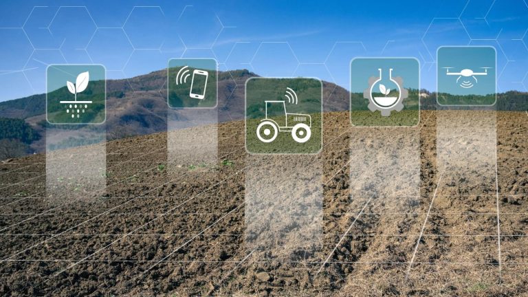
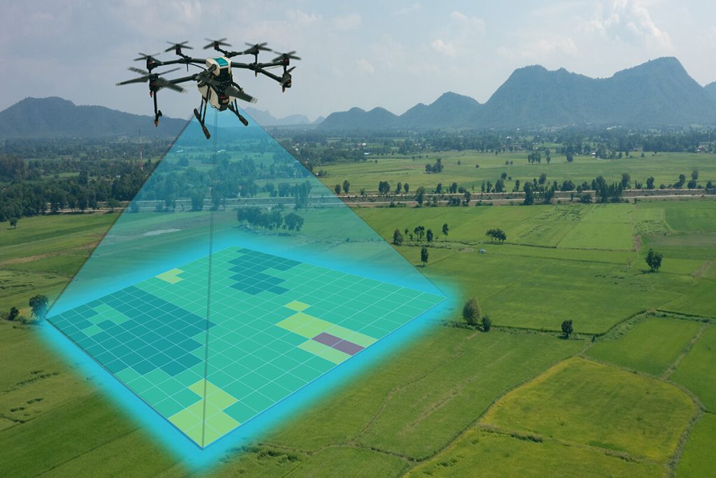
Agriculture
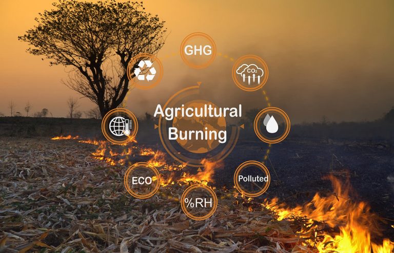
Agriculture is one of the most extensive land-use activities globally, influencing both land and
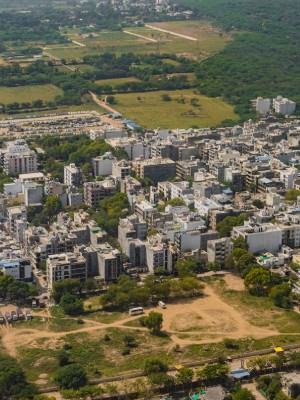
Urban Development and Planning
SCIENCE is dedicated to enhancing urban development by leveraging

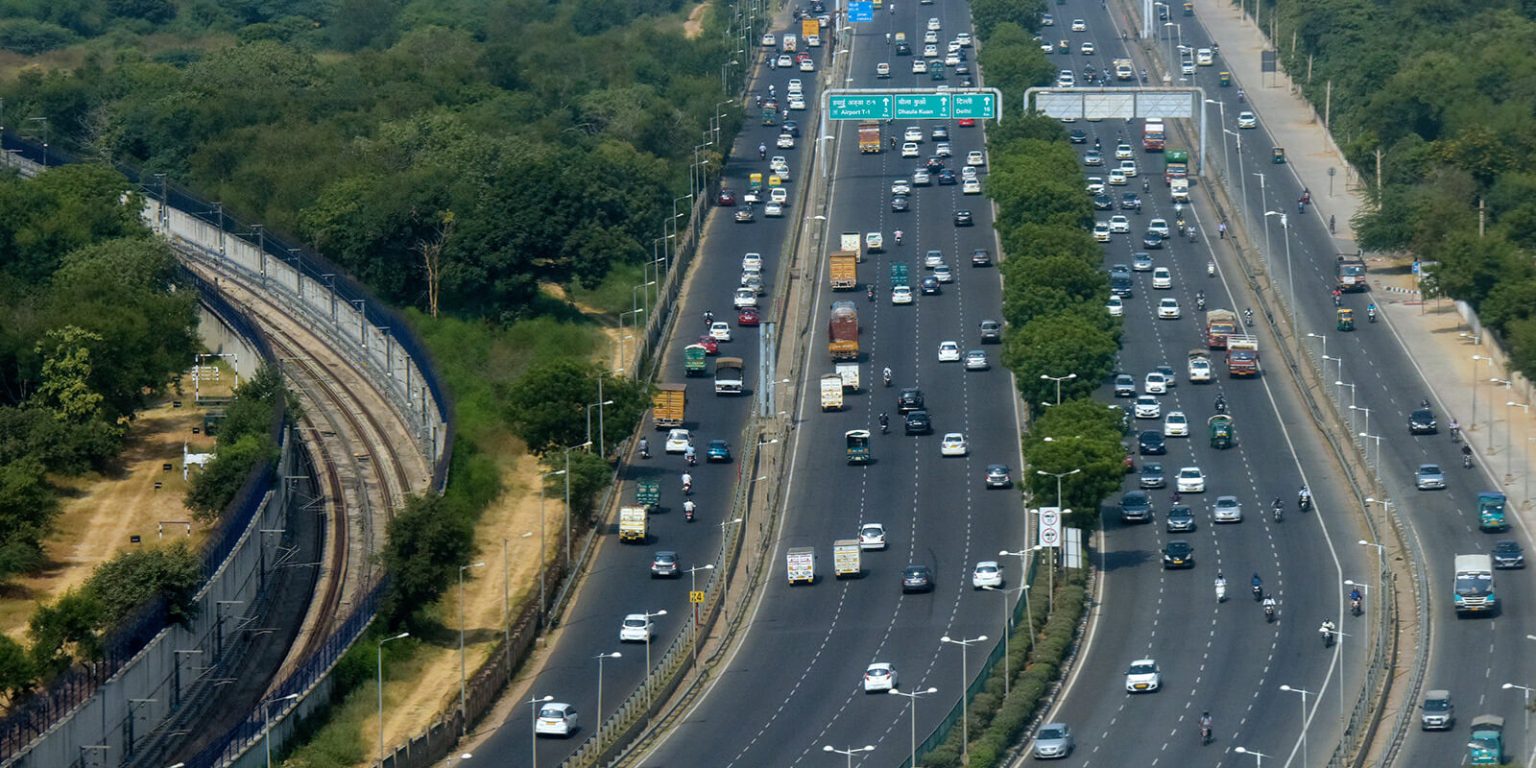
Infrastructure/Utility/Energy
Creating digital maps and conducting asset mapping is the foundational step in any infrastructure, utility,
Disaster Management
Natural disasters are unpredictable, making disaster preparedness, planning, and execution

Government
Geospatial technologies play a pivotal role in every government project and initiative, including